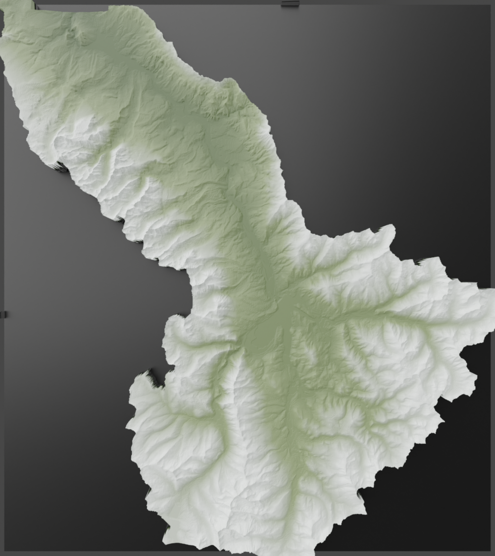
Digital Elevation Models in Blender
I always see lots of 3D mountain art in shops around Colorado and thought it would be fun to begin to understand the process behind creating those images. I found publicly available data for Summit County, Colorado, and learned to import and manipulate the data in Blender to render out these images of my backyard. It took around 3 minutes on my home computer to render each image.
Elevation Data for Summit County
Boundary Data for Summit County